
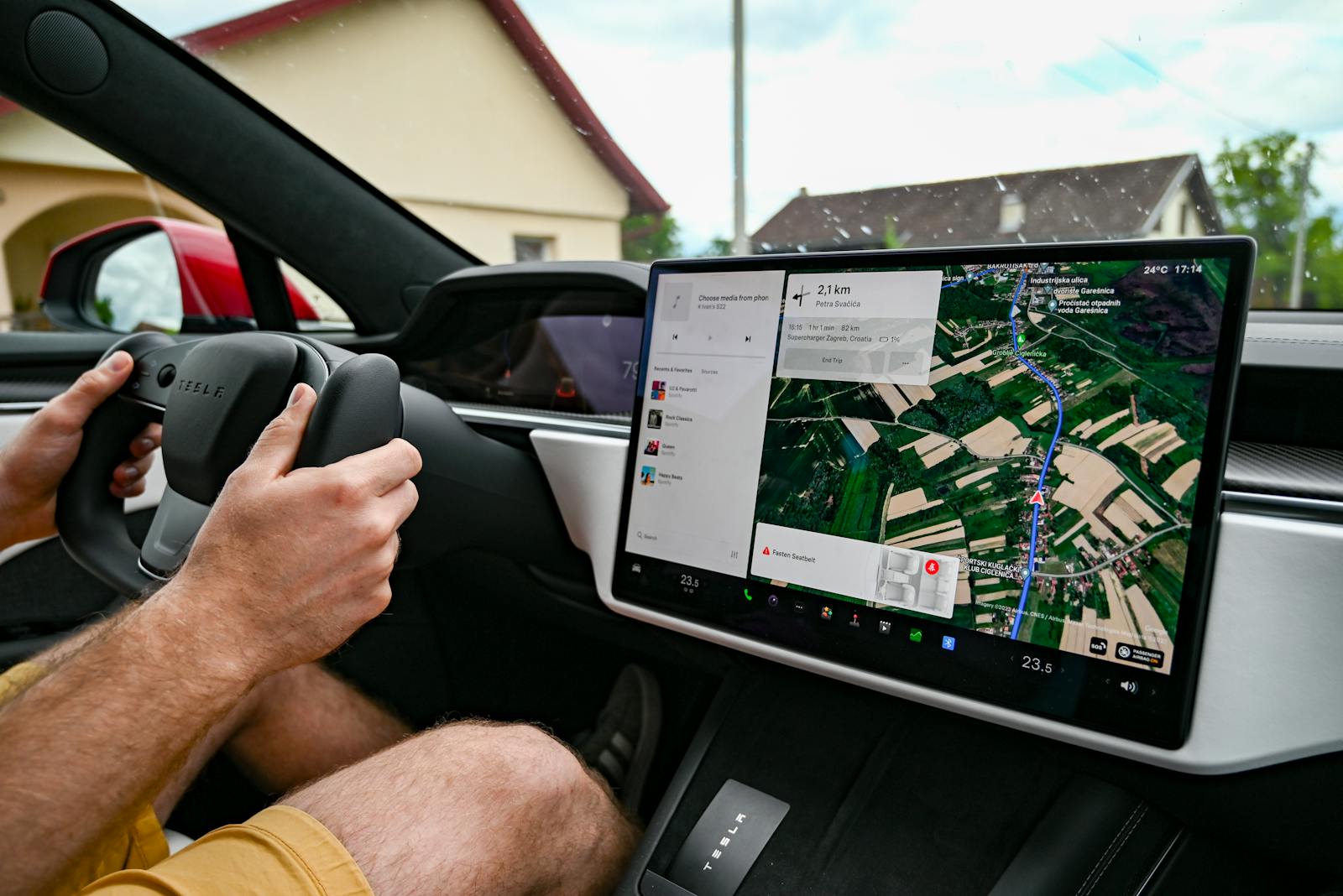
A driver’s routine trip turned into an unexpected ordeal when his GPS navigation system directed him down a treacherous narrow logging road during a storm, all while a perfectly good highway route existed nearby. The rental sedan struggled through the unmaintained path as weather conditions worsened, leaving the driver stranded and questioning how modern navigation technology could make such a dangerous error.
Navigation apps like Google Maps and other GPS systems can send drivers down unsuitable routes because they don’t always account for road conditions, weather changes, vehicle types, or real-time hazards that human judgment would recognize. Cases where drivers blindly followed GPS into disaster have been documented across various situations, and this incident adds another example to the growing list.
The driver’s experience highlights a persistent problem with navigation technology: the gap between algorithmic route planning and practical road safety. While his GPS calculated what appeared to be an efficient path, it failed to recognize that a sedan had no business on a logging road designed for heavy-duty trucks, especially during severe weather.
Why GPS Navigation Sometimes Goes Wrong
Navigation systems rely on multiple data sources and algorithms that can fail in unexpected ways, leading drivers down unsuitable roads. Map accuracy, signal quality, and vehicle specifications all play roles in determining whether GPS routing works properly or sends travelers astray.
Common Causes of Navigation Errors
GPS direction is determined by combining multiple satellite signals, but this technology faces limitations in real-world conditions. Signal blockage from tall buildings, dense tree cover, or terrain features can cause the system to calculate an incorrect position. Weather conditions like heavy rain or snow sometimes interfere with satellite communication.
The route planner within navigation systems prioritizes certain factors like distance or estimated travel time. These algorithms may select dirt roads or narrow paths because they appear shorter on digital maps. The system doesn’t always account for road surface quality, width restrictions, or seasonal conditions that make routes impassable.
Different factors affect GPS accuracy including atmospheric interference and satellite geometry. When satellites are clustered together in the sky rather than spread out, position calculations become less reliable. Urban canyons created by tall structures can cause signals to bounce, creating multipath errors that place vehicles on wrong streets.
How Outdated Maps and Data Affect Routes
Map databases require constant updates to reflect changing road conditions, new construction, and seasonal closures. Many GPS systems operate with maps that are months or years old, showing roads that no longer exist or missing recently built highways. Logging roads, private driveways, and temporary access routes sometimes appear as through streets in older datasets.
The navigation challenges become more severe when address information doesn’t match actual drop-off locations. Road maintenance status, seasonal closures, and weight restrictions rarely appear in standard navigation databases. Systems may route drivers down paths that were accessible when the map was created but have since deteriorated or been closed.
Route optimization algorithms can’t account for conditions they don’t know about. A road might be paved in the database but actually be a rutted dirt track. Construction zones, flooding, or storm damage won’t affect routing if the system hasn’t received updated information about these obstacles.
Vehicle Type Settings and Impact on Directions
Different streets may be suitable depending on vehicle type, but standard consumer GPS units typically lack detailed vehicle profiles. A sedan has different clearance requirements than an SUV or truck, yet most systems treat all passenger vehicles identically. Width restrictions, weight limits, and turning radius requirements often go unrecognized by basic navigation software.
The route planner in commercial fleet systems can specify vehicle dimensions and weight to avoid incompatible roads. Consumer devices rarely offer these options, assuming any road marked as accessible works for all vehicles. This leads to sedans being directed down paths meant for four-wheel-drive vehicles or trucks sent down residential streets too narrow for large vehicles.
Height clearances under bridges and through tunnels don’t factor into standard car navigation. The system may confidently route a vehicle down a path that becomes physically impassable due to vehicle specifications that were never entered into the device.
Real-World Consequences: Driving Down the Wrong Road
Navigation apps can lead drivers into dangerous situations when road conditions change unexpectedly or maps contain outdated information. Drivers face physical hazards on unmaintained roads while app developers work to improve accuracy through user reports.
Risks of Using Navigation Apps in Rural or Stormy Conditions
Navigation technology struggles when drivers venture into areas where road conditions deteriorate rapidly or weather creates visibility issues. In November 2023, a family from California ended up stranded in a dust storm after Google Maps directed them down a dirt road in the Mojave Desert, requiring rescue for multiple vehicles.
Research shows that blindly following GPS directions can lead to fatal navigation errors. The technology calculates the most direct path between locations but fails to account for unpaved surfaces, seasonal closures, or severe weather impacts. Rural logging roads present particular challenges since they appear on maps as legitimate routes despite being unsuitable for standard passenger vehicles.
Storm conditions compound these problems by reducing visibility and making it harder for drivers to recognize warning signs. The apps continue providing turn-by-turn directions even when the direction of travel takes vehicles onto roads that become impassable.
Physical Barriers and Sudden Hazards on Logging Roads
Logging roads contain obstacles that rental sedans and standard vehicles cannot navigate safely. Fallen trees, deep ruts, steep grades, and washed-out sections create physical barriers that stop vehicles completely. These roads often lack guardrails, proper drainage, or maintained surfaces.
Studies examining navigation app failures identify how route optimization software prioritizes distance and time over road quality. The algorithms don’t distinguish between paved highways and unpaved logging tracks when calculating routes. Drivers discover too late that the “shorter” route involves conditions their vehicles cannot handle.
Some logging roads include locked gates, seasonal restrictions, or private access limitations that don’t appear in navigation databases. Weather events like the storm in this incident transform marginally passable roads into hazardous terrain within hours.
Reporting Issues and Improving Map Accuracy
Delivery companies using route optimization software for multi-stop routes have developed systems for drivers to report road problems directly. Navigation apps tailored for logistics allow users to correct location inaccuracies and flag impassable roads, though these features require drivers to sign in and register.
The reporting process remains imperfect since updates take time to reach all users. One driver’s experience on a dangerous logging road might not prevent the next vehicle from receiving the same flawed directions. Consumer navigation apps lack robust reporting mechanisms compared to commercial logistics software.
Map providers rely heavily on user feedback to identify problem routes, but verification processes can take weeks or months before corrections appear in the system.
More from Steel Horse Rides: